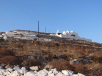
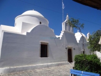
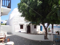
From Petousis we initially follow the dirt road and then Path Five (5) toward Livadi for six hundred meters. At this point, instead of continuing to the left on the path, we ascend to our right, toward the Prophet Elias Hill that rises up in front of us to the southeast. From this point, the distance to the Church of the Prophet Elias and the peak is 600 relatively difficult meters (approximately 20 minutes), as there is virtually no path, and we make our way between low vegetation and rocks. The little church is next to the short cement column of GYS (the Army Geographic Service), which marks the peak of the Prophet Elias Hill at 285 meters. Striking crystal clear view here of the southeast side of the island and Sikinos across the water.
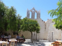
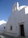
Church of the Prophet Elias
Attributes
| Altitude (in meters) | : | 285 |
| Access | : | |
| Accessible | : | |
| Duration of Visit | : | 40 minutes |
More
Similar: Religious Sites
DISTANCES


