


")
")
")


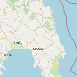
1,200 meters southeast of Galani, we will see a few deserted houses, all that remains of the small settlement of Potamia. Below them passes the ravine of Potamia, with a little water flowing among dense vegetation. This is the highest point of the village, above the church of Saint (Agios) Polykarpos.
Potamia
Attributes
| Altitude (in meters) | : | 239 |
| Type of Place | : |
More


Similar: Cities/Villages


")


DISTANCES


