EG Mobile

Info
Map Position    Cluster      Map Kind:
show map
AreaCommunityArea // Community

Likouria

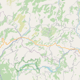
Community of the Municipal District of Kleitoria made up of the small agricultural villages of Kerassia and Spilia and Lykouria, the last large village, in the southern part of alpine Achaea, before we cross over to the Corinthian Department and Feneos Plain. The village is situated a little higher than the sources of Ladonas in the area of Chelonospilia. Chelonospilia is one of the oldest villages in Achaea, the first pre-revolution incident taking place here on 16th March 1821. The same day, other similar incidents occurred in Froxylia (12km further north, just outside Kleitoria).

Rating

EG Editors:
Υοur Rating:
Users' Rating:
Popularity: 445

Attributes

Center : Likouria
Population 2011 : 449
Type of Place : ScenicScenic
SecludedSecluded
Kallikratis Code : 37050312

 Less
 More
Achaia - Ladon River Springs
Geological Attraction
Ladonas River Source
(Geological Attraction)
ACHAIA, KALAVRITA, KLITORIA
Achaia - Turtle's Cave
Historical Site
Chelonospilia
(Historical Site)
ACHAIA, KALAVRITA, KLITORIA
Achaia - Likouria
Village
Likouria (11)
(Village)
ACHAIA, KALAVRITA, KLITORIA
Achaia - Kerasia
Village
Kerassia
(Village)
ACHAIA, KALAVRITA, KLITORIA
Achaia - Likouria - St. George
Church
ACHAIA, KALAVRITA, KLITORIA
Achaia - Likouria - School
School
ACHAIA, KALAVRITA, KLITORIA
Achaia - Spilia
Village
Spilia
(Village)
ACHAIA, KALAVRITA, KLITORIA


My Trip
0.0076 1.64MB