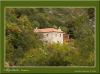
Accommodations for your stay
Featured Businesses
Find rental companies, activities and tour organizers, etc...
My Trip


After signing-up the contents of your Trips will be displayed here.
0.5511 15.61MB


